The Birthplace
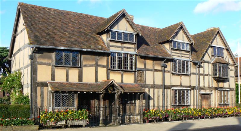
Image by John Via https://www.flickr.com/photos/12859033@N00/1731186988,
This work is licensed under a Creative Commons Attribution 2.0 Generic License.
Image by John Via https://www.flickr.com/photos/12859033@N00/1731186988,
This work is licensed under a Creative Commons Attribution 2.0 Generic License.
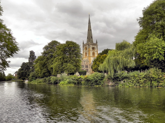
Image by David Dixon Via https://www.geograph.org.uk/photo/2549765,
This work is licensed under a Creative Commons Attribution-ShareAlike 2.0 Generic License.
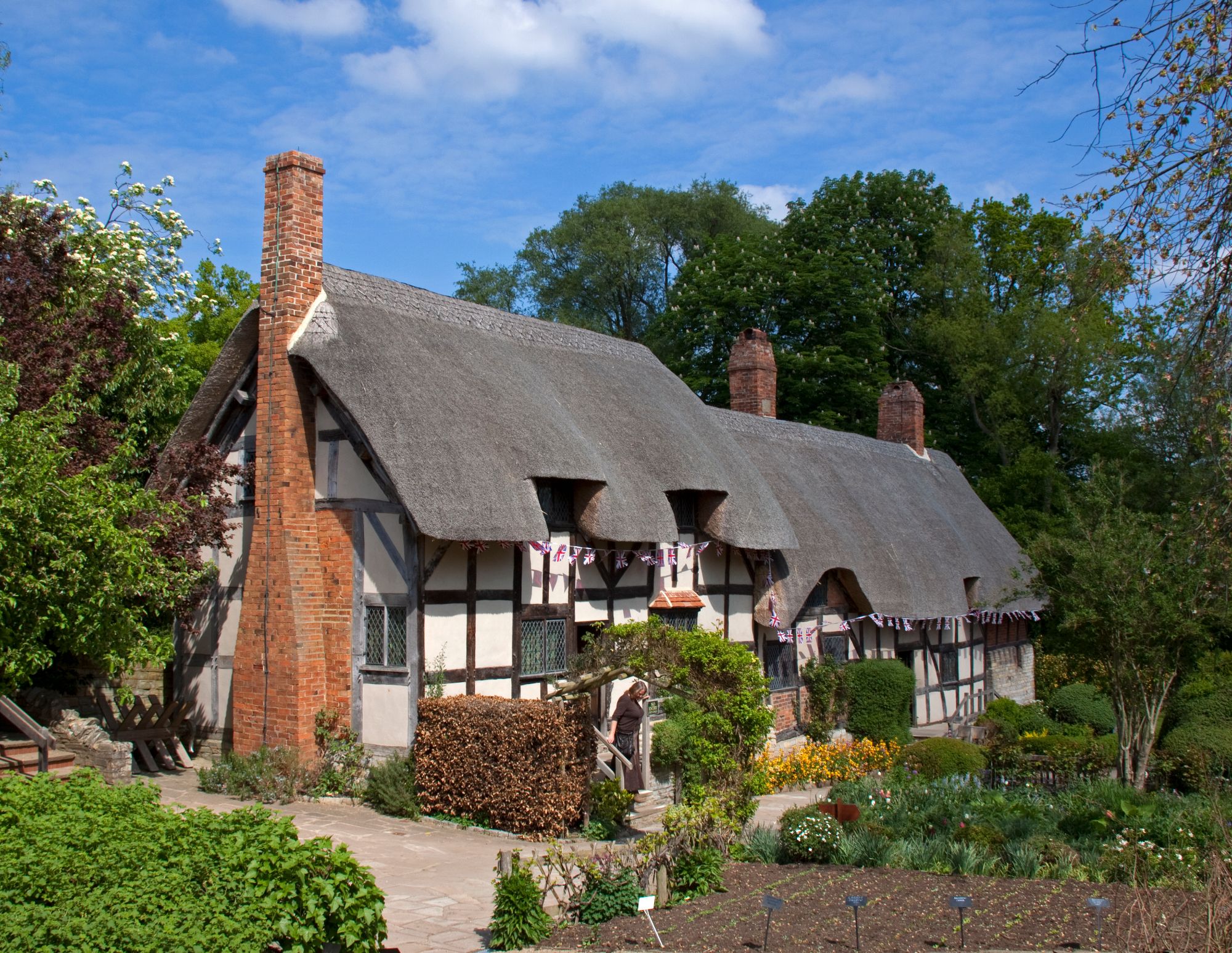
Image by Tony Hisgett Via https://www.flickr.com/photos/hisgett/5662418953/,
This work is licensed under a Creative Commons Attribution 2.0 Generic License.
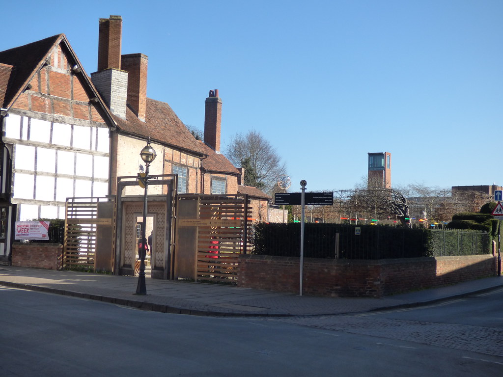
Image by Elliot Brown Via https://www.flickr.com/photos/ell-r-brown/40494882911,
This work is licensed under a Creative Commons Attribution-NonCommercial-ShareAlike 2.0 Generic License.
Due to it appearing in only one of the 19th century guidebooks used for this project, there is not enough data to create a visualization. However, as the project expands to include 20th and 21st century guidebooks Hall's Croft (which was purchased by the Shakespeare Birthplace Trust in 1949 and became a tourist attraction) will be feature on the map.
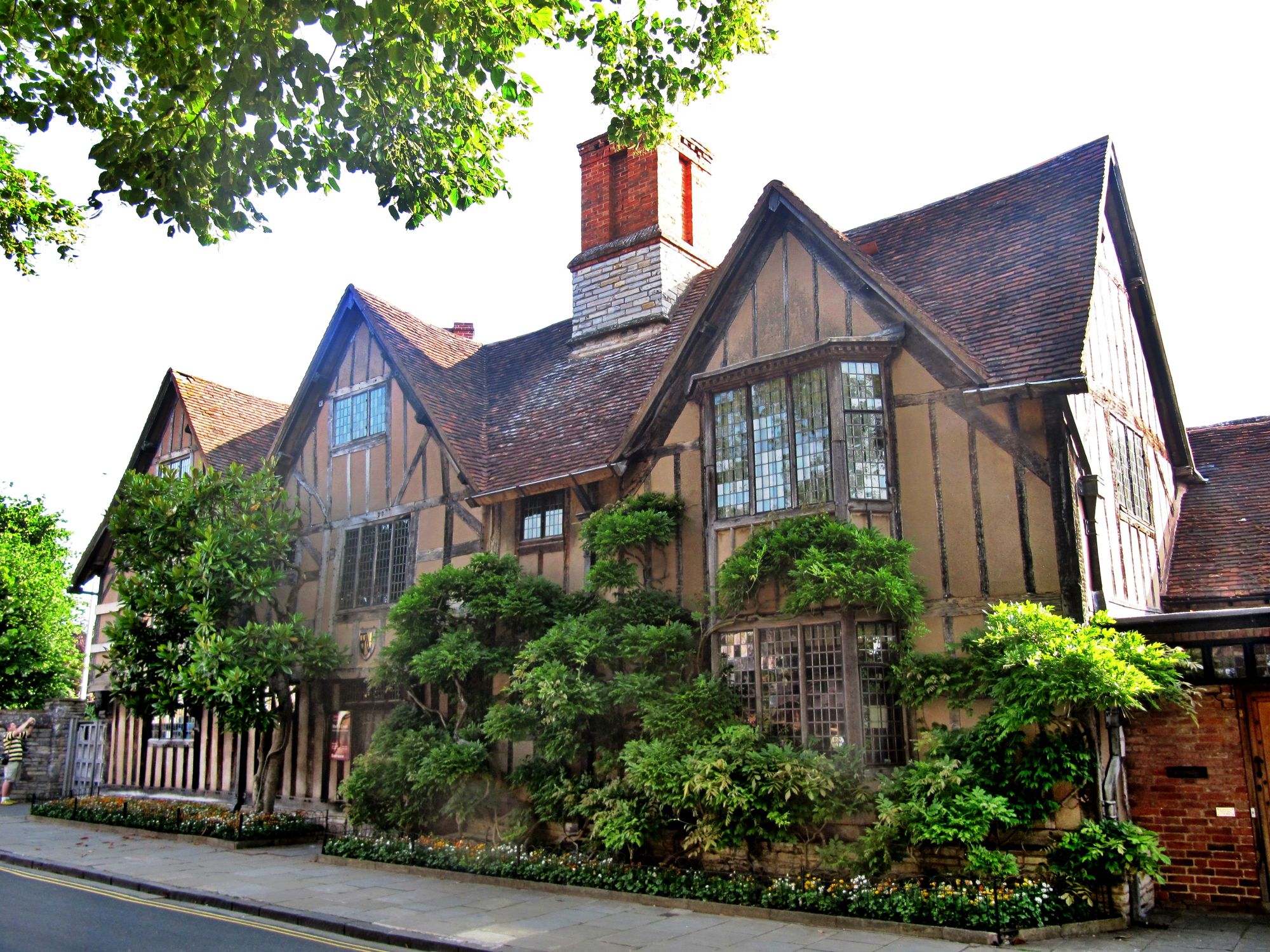
Image by Palickap Via https://commons.wikimedia.org/wiki/File:Stratford-upon-Avon,_Hall%27s_Croft.jpg,
This work is licensed under a Creative Commons Attribution-ShareAlike 4.0 International License.
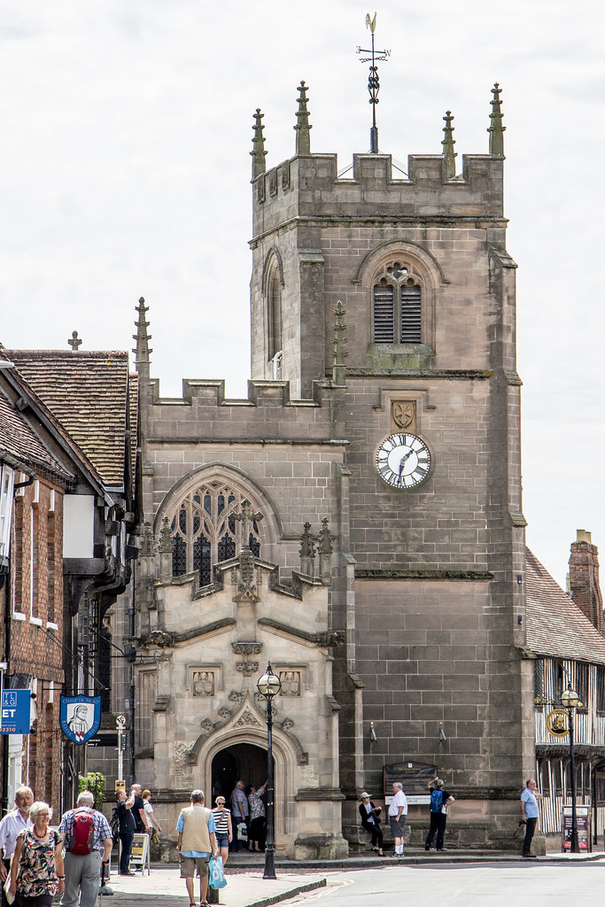
Image by Billy Wilson Via https://www.flickr.com/photos/billy_wilson/49470396131,
This work is licensed under a Creative Commons Attribution-NonCommercial 2.0 Generic License.
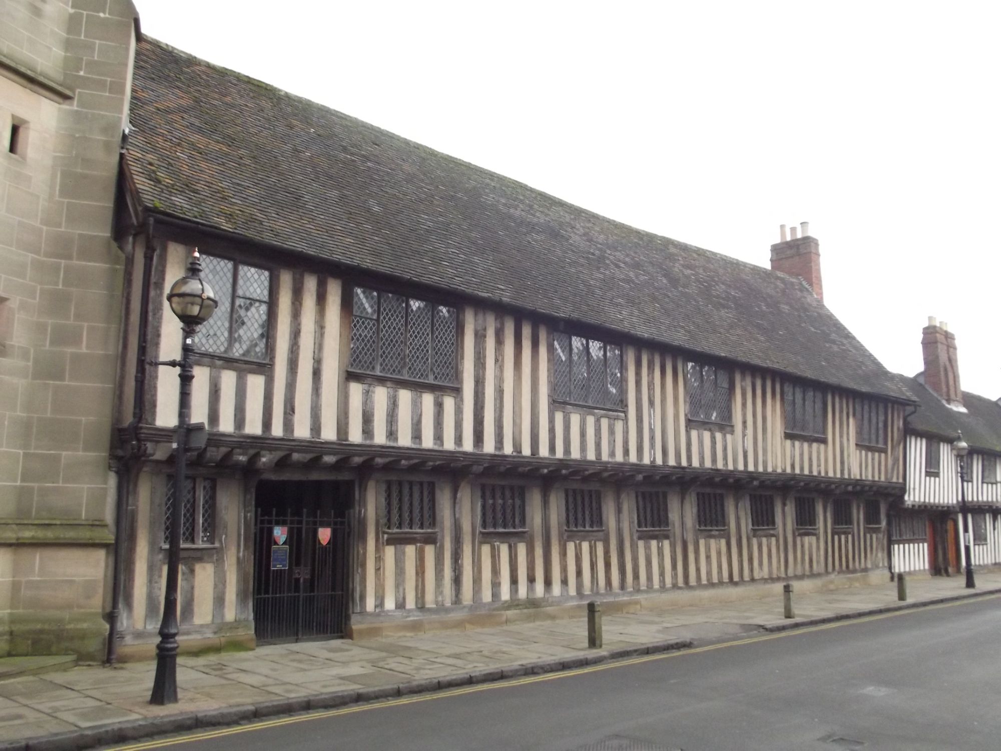
Image by Elliot Brown Via https://www.flickr.com/photos/39415781@N06/8357852042,
This work is licensed under a Creative Commons Attribution 2.0 Generic License.